
Healthy Mile Trails (HMTs)
What is a Healthy Mile Trail?


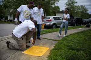
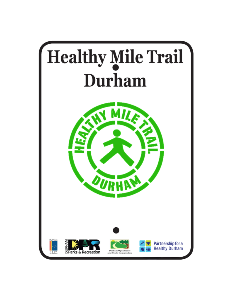
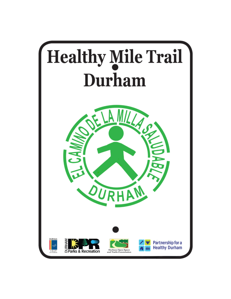
Healthy Mile Trails are one-mile loops marked by the image of a walker in permanent green paint on neighborhood sidewalks. Some trails may still have permanent yellow paint from previous logos.
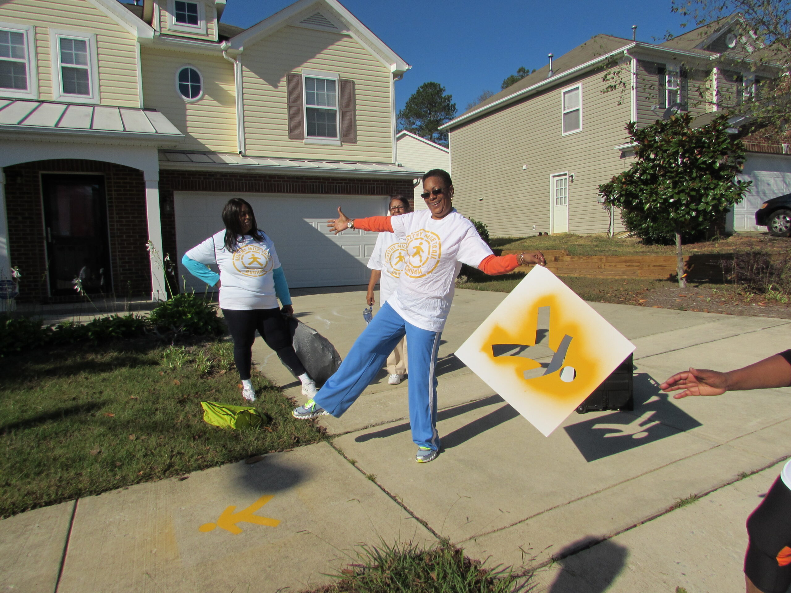
The Partnership for a Healthy Durham first created these walking trails because residents identified their neighborhoods as the top places where they exercise in the 2014 and 2017 Community Health Assessments. These trails make it easier for Durham residents to reach the recommended 30 minutes of physical activity a day.
The first Healthy Mile Trail was created in 2012 in partnership with the Historic Stokesdale community near the Lincoln Community Health Center. Since 2012, additional Healthy Mile Trails have been established near the Holton Career and Resource Center, McDougald Terrace, Old North Durham Park, Ridgefield neighborhood, unity Village Park, Northgate Park, Duke Park, Whippoorwill Park and Hillside Park.
Current Healthy Mile Trail partners include the American Heart Association, Bull City United, City of Durham, Durham County Department of Public Health, Durham Housing Authority, Durham Parks and Recreation, DCI, Historic Stokesdale Community, Keep Durham Beautiful, Lincoln Community Health Center and North Carolina Central University.
Existing Healthy Mile Trail Routes
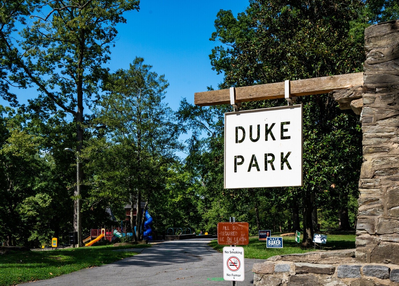
Duke Park
A 0.20 mile paved loop inside Duke Park (106 W Knox St.). There are additional unpaved paths throughout the park to add extra mileage.
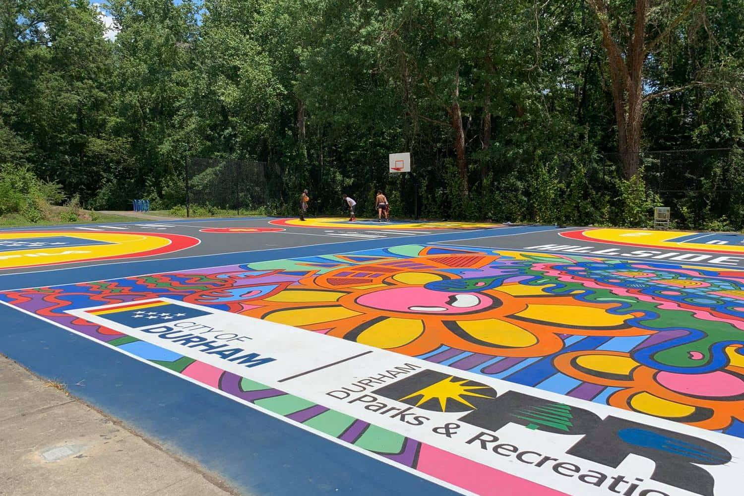
Hillside Park
Less than 0.30 miles, this path takes you near the baseball field, around the swimming pool, and behind the recreation center of Hillside Park (131 S Roxboro St.)
Learn more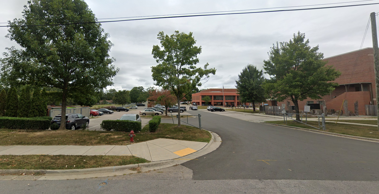
Holton
This 1-mile loop begins at Taylor St. outside of the Holton Career and Resource Center (401 N Driver St.) and follows Taylor St., Eastway Ave., Liberty St., N Hyde Park Ave., Southgate St. and N Driver St.
Lincoln
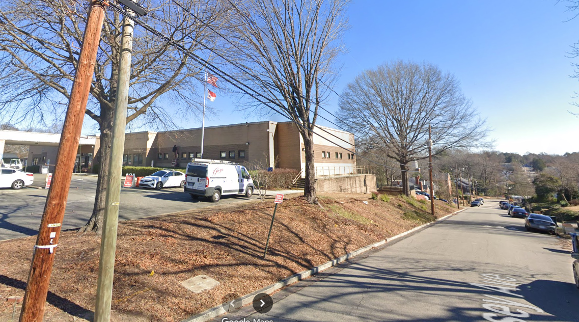
Across the street from Lincoln Community Health Center (1301 Fayetteville St.), this 0.77 mile route takes you along Massey Ave., Lincoln St., E Lawson St., and Merrick St.
McDougald Terrace
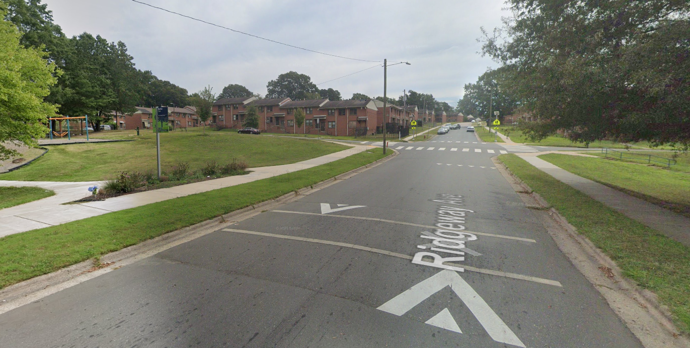
Around the McDougald Terrace neighborhood along the following streets: E Lawson St., Sima Ave., Ridgeway Ave., Truman St., and Wabash St.
Northgate Park
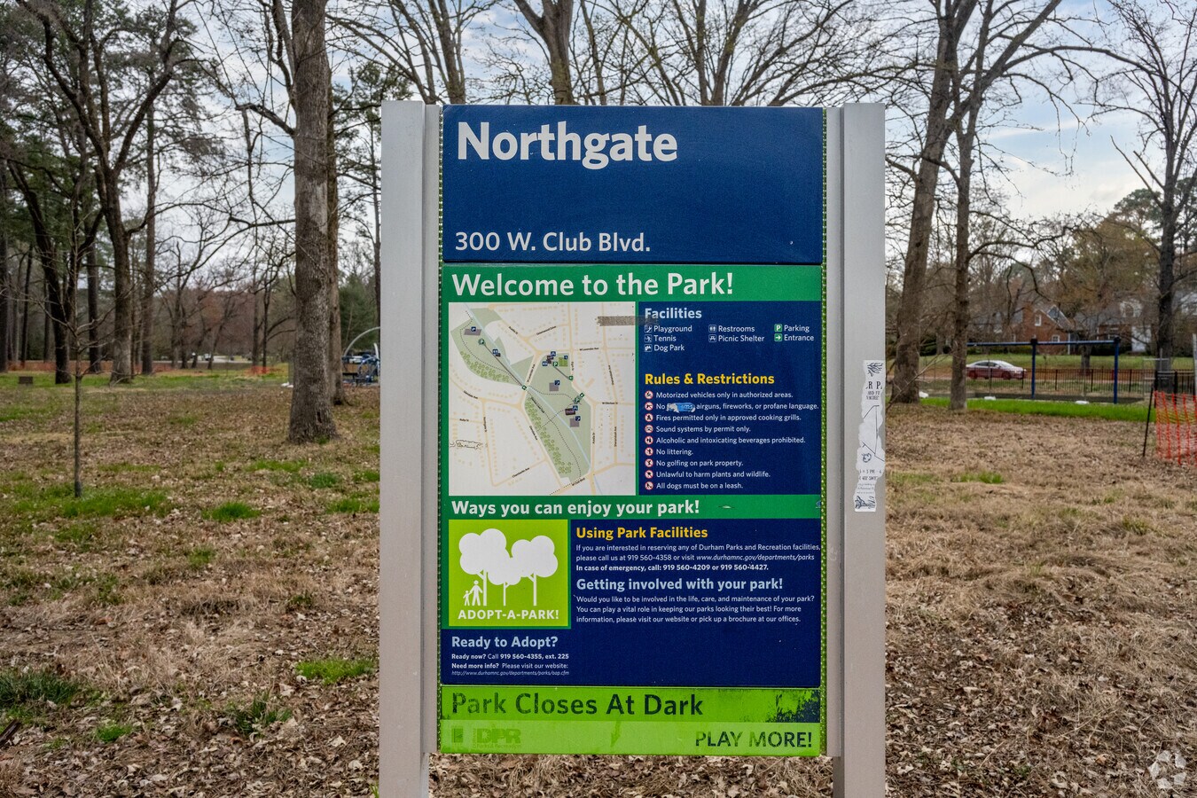
300 W Club Blvd. 0.65 mile path along the outer part of the park.
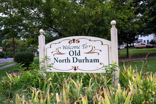
Old North Durham
0.85 mile route starting and ending near the South Ellerbe Creek Trailhead and following W Trinity Ave., North St., W Geer St., and Washington St.
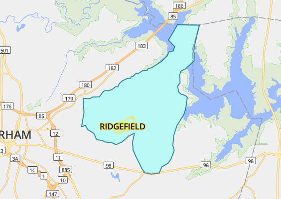
Ridgefield Neighborhood
A .87 mile path along Pebblestone Dr., Statler Dr., and Knightwood Dr. in the Ridgeield neighborhood east of downtown.
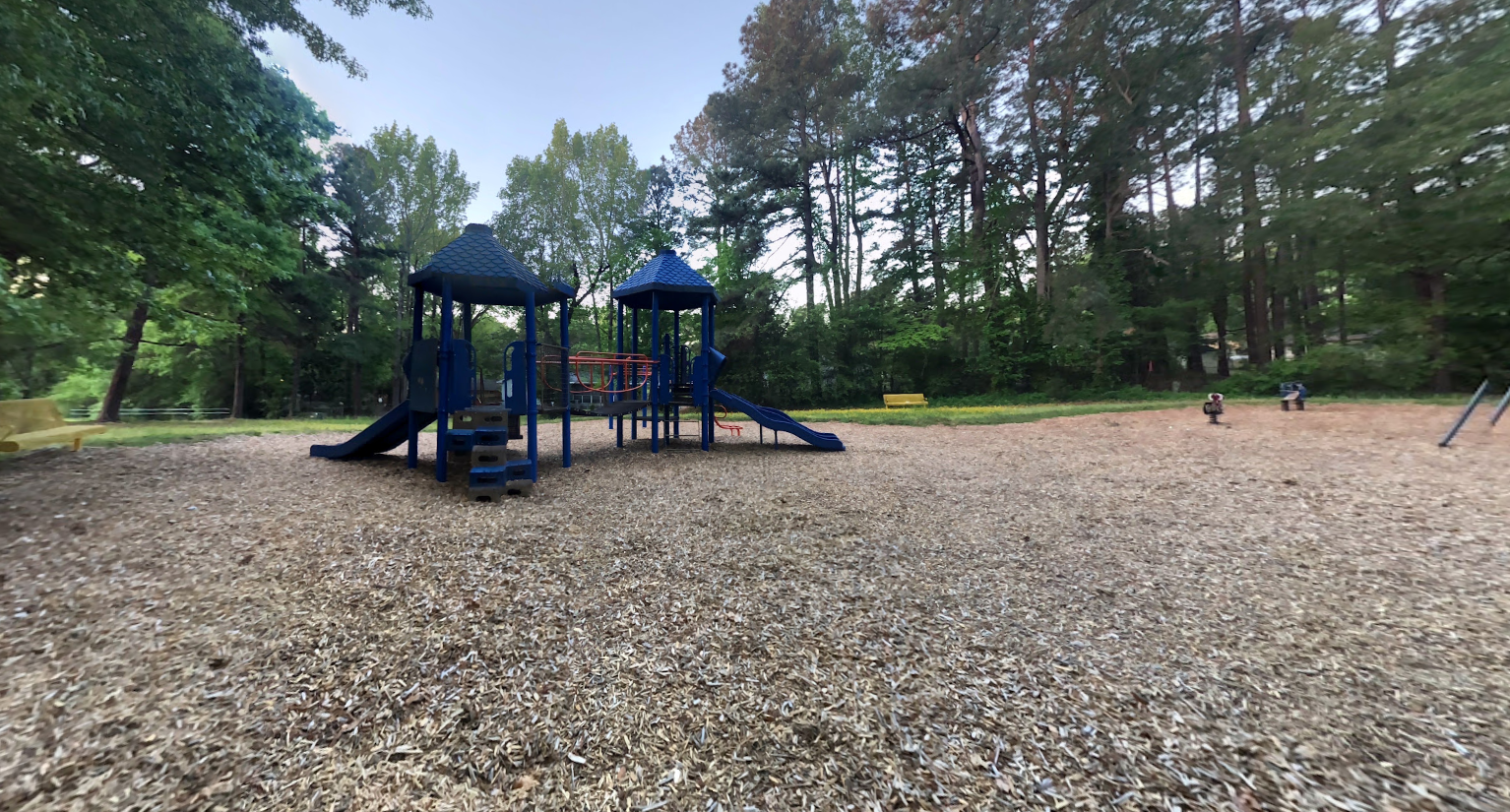
Unity Village Park
Starting from the park entrance between 2009-2013 Matilene Ave., Matilene Ave., this 0.25 mile loop follows the paved path outlining the park
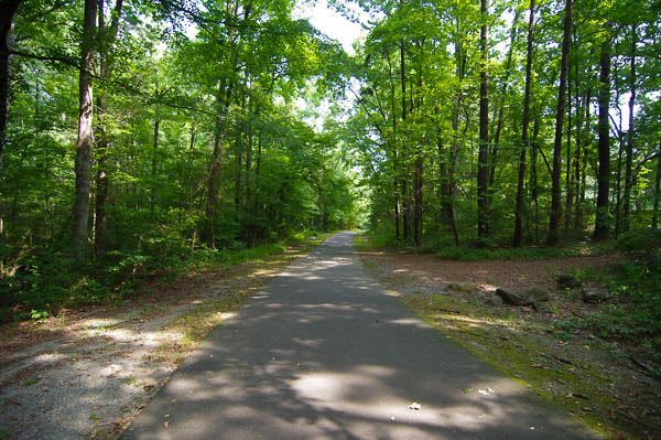
Whippoorwill Park
This is a 1.5 mile out-and-back path along the Warren Creek Trail, beginning at Whippoorwill Park's entrance to the trail (1632 Rowemont Dr.) and ending at Horton Rd.
How Do I Start a Healthy Mile Trail in My Neighborhood?
Route Requirements
A Healthy Mile Trail route must meet the following requirements:
- The main criterion is the neighborhood must have sidewalks for a continuous mile loop since streets cannot be marked.
- Be at least one mile loop
- Have sidewalks the entire distance
- Have streetlights
- Have limited changes in elevation (to ensure it is accessible to the elderly, disabled and strollers)
Contact Partnership for a Healthy Durham Coordinator Bria Miller or call 919-560-7833 if you would like to learn more about creating a Healthy Mile Trail in your neighborhood.
Healthy Mile Trail Inquiries
Let us know if you are interested in learning more about Healthy Mile Trails.